横尾山
Daimonji
Elevation: 466m
Prefecture
Kyoto
Elevation Gain
230m - 360m
Distance
4.5 km
Time
2 hours
Difficulty
1/5
Accommodation
Hotels
Overview
Mt. Daimonji is a popular small hike in Kyoto and undoubtedly offers the best views of the city, it's also a great place to watch the sunset. The trailhead is located next to the beautiful Ginkakuji temple (also called the Silver Pavilion) and the Philosopher's Path. Daimonji is famous for the huge kanji character Dai 大 which is placed on the side of the mountain and set on fire on Aug 16 every year as part of the Obon festival. Most people only hike to the main viewpoint which can be reached in 40 minutes, but I also highly recommend hiking another 15 minutes to the peak, here you'll find amazing views of southern Kyoto and even Osaka.
Access
Bus or Bike - You just need to reach the entrance of Ginkakuji temple, there are a few different busses or you can ride a bike. There is bicycle parking further up the road after turning left at the temple.
If you need to rent a bike, the Pippa bike share app has locations all over the city and only costs 100 yen for 30 minutes, it's usually faster than the bus.
Trailhead: Google Maps
Kyoto Station: The trailhead is about 40 minutes by bus from Kyoto station and will cost ¥230.
Maps


Trail Description
Turn left at the entrance to Ginkakuji temple and follow the road until you reach the trailhead marked on the map. You will continue walking up alongside the river until you reach a small bridge, from here it's a well-marked trail to the viewpoint and will take about 30-40 minutes to reach the top. The main viewpoint is where most people stop to enjoy the view before heading back down, but if you want to reach the peak you can keep hiking for another 20 minutes, although the best views are found at the main viewpoint.
Weather and Seasons
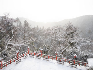
Spring, summer and autumn are the best times for this hike. You can also hike during winter and if you're lucky you'll even have some snow.
Useful links

Elevation profile
Gallery


Difficulty: 1/5
Hiking Distance: 2.5km
Time: 2 hours
Elevation gain: 226m
Prefecture: Kyoto


